Field Atlas
Images · 2023-10 · Houston, TX
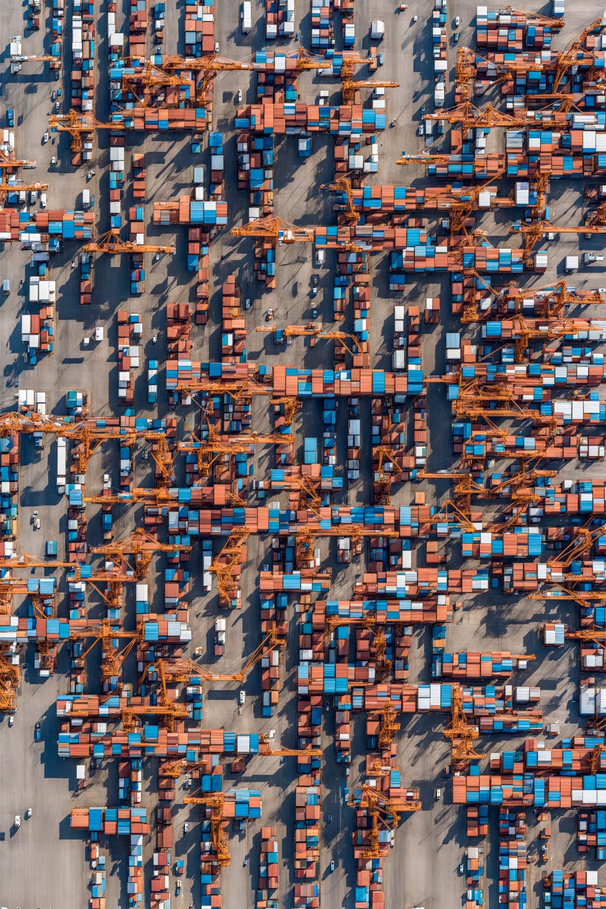
I have had an obsession with maps and aerial photography my entire life. As a child, I would rather look at our family’s giant world atlas than any other book. I always take the window seat on planes to watch the earth's patterns pass below. In 2017, I began a series of drawings using parametric modeling to transform simple patterns into believable, but entirely fictional, cities. Field Atlas continues this series of drawings through the use of generative AI, providing simple parametricaly derived geometric masks to generative AI models to imagine new forms of the built environment. Each of these images was created with the same geometric pattern and a simple prompt of “An aerial photo of a x city” with x sequentially replaced with a word drawn from a list. Some words like “beach” or “forest” are easy to spot while others like “knotted” or “split” city may be harder to discern. Although both the generative seed and the mask image were the same for each generated image, the small differences in each prompt produce radically different landscapes.